

| << Chapter < Page | Chapter >> Page > |
We then use these letters and numbers to give each square a name.
Example:
| 1 | 2 | 3 | ||
| A |
 |
 |
 |
A |
| B |
 |
 |
 |
B |
| C |
 |
 |
 |
C |
| 3 | 2 | 3 |
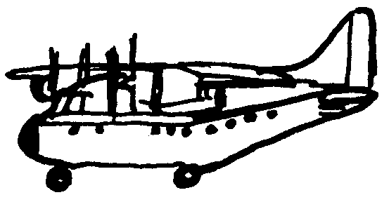
If now you want to indicate where the aeroplane is, we say it is in block B2 .
Indicate the location of the following objects as they appear in the example:
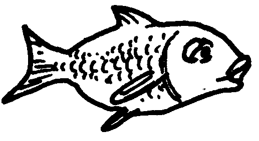
1. man …………………………………………………………………………………
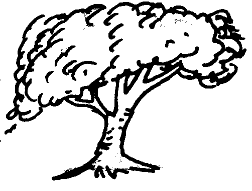
2. tree …………………………………………………………………………………
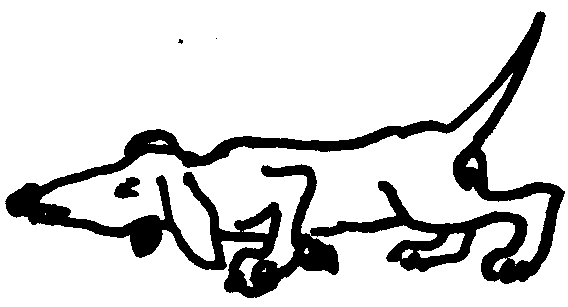
3. dog ………………………………………………………………………………….
4. house ………………………………………………………………………………
Study this grid:
| 1 | 2 | 3 | 4 | 5 | ||
| A | e | n | r | g | l | A |
| B | j | q | b | t | p | B |
| C | w | k | v | x | d | C |
| D | c | y | o | I | v | D |
| E | h | m | f | s | a | E |
| 1 | 2 | 3 | 4 | 5 |
Now study the following coded message that has been written according to the grid network code and decipher it. A semi-colon (;) indicates the end of a word.
D4; A5 D4 D5 A1; D4 A2; D1 E5 B5 A1; B4 D3 C1 A2; C1 E1 A1 A3 A1; C5 D3; D2 D3 B2; A5 D4 D5 A1
……………………………………………………………………………………
……………………………………………………………………………………
……………………………………………………………………………………
……………………………………………………………………………………
……………………………………………………………………………………
Now write your own secret message by using the grid network code. Swap your secret message with a classmate and decipher each other’s messages.
……………………………………………………………………………………
……………………………………………………………………………………
……………………………………………………………………………………
……………………………………………………………………………………
……………………………………………………………………………………
……………………………………………………………………………………
……………………………………………………………………………………
……………………………………………………………………………………
……………………………………………………………………………………
……………………………………………………………………………………
……………………………………………………………………………………
……………………………………………………………………………………
……………………………………………………………………………………
…………………………………………………………………………………
The learner will be able to use enquiry skills to investigate geographical and
environmental concepts and processes.
We know this when the learner:
1.3 identifies symbols used in different kinds of maps (including plan view, grids and map keys) [works with sources].
1.4 locates places using a simple grid referencing system and directions [works with sources].
Notification Switch
Would you like to follow the 'Geography grade 4' conversation and receive update notifications?

|
|

|
|
|
|
|

|
|

|
|
|
|
|

|
|

|
|

|
|

|